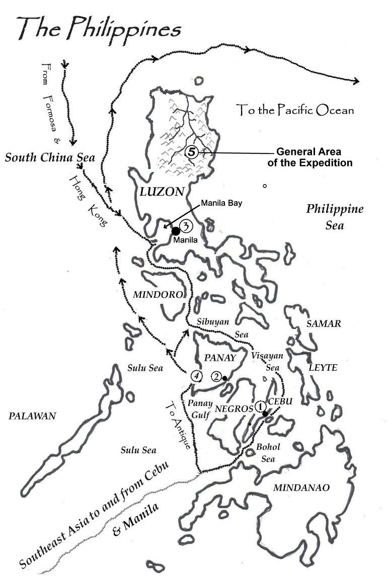
Map of the Philippine Islands {Above}
Across the Pacific Ocean from the United States and across the International Date Line from her as well, the Filipinos are a day ahead of Americans.
The archipelago sits to the east just across the South China Sea from Vietnam and its Southeast Asian neighbors that occupy the wide peninsula called Indochina during the time of this story.
The usual tracks of the schooner Rose O’ Sharon on trading voyages to and from the islands are clearly marked up and down the big island’s west coast to Manila.
1 ………. Capital of Cebu Province, Cebu City
2 ………. Capital of Iloilo Province, Iloilo City
3 ………. Capital city of Manila
4 ………. Anchorage off San Jose de Buena Vista
& Hamtic for trading with the Ati
5 ……..... Area of the Expedition
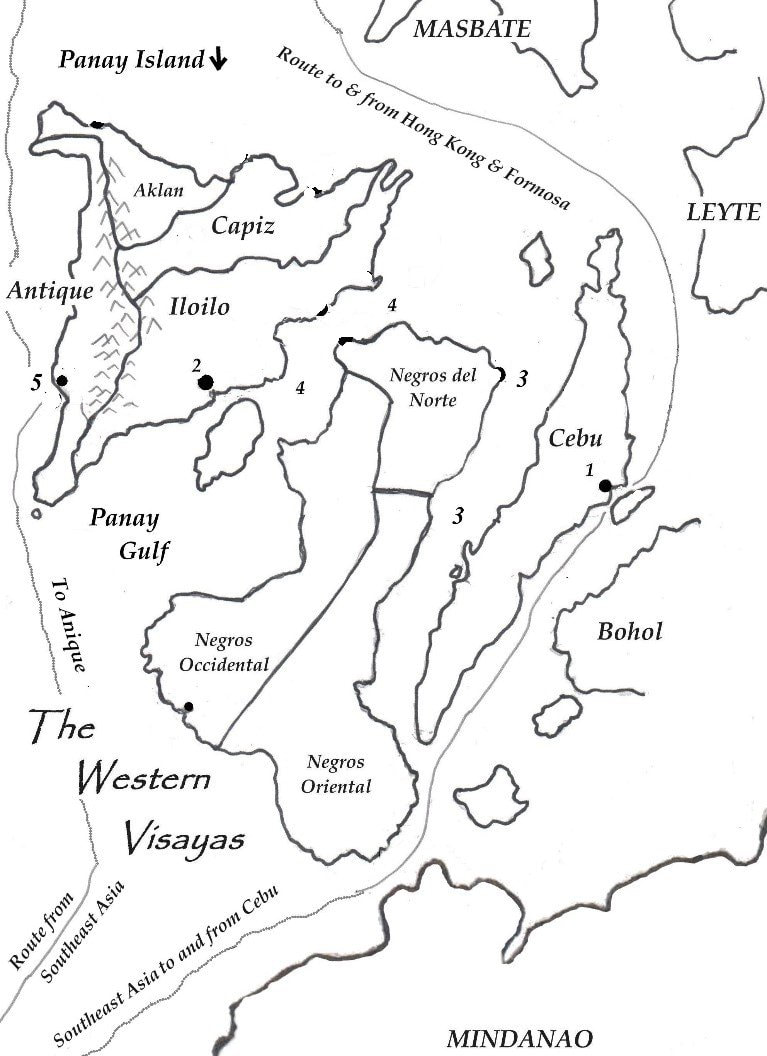
Map of the Western Visayas {Below}
1 ………. Cebu City
2 ………. Iloilo City
3 ………. Tanon Strait
4 ………. Guimaras Strait
5 ………. Anchorage off Antique
Map of the Northern Luzon {Below}
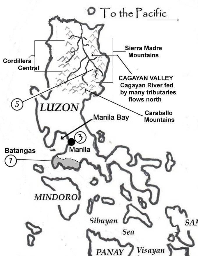
The Cagayan Valley of the Rio Grande de Cagayan is formed and bordered by the Cordillera Central Mountains to the west, the Sierra Madre Mountains to the east, and the Caraballo Mountains to the south, the three great ranges together forming a horseshoe with the open end at the north. The open end is the Pacific Ocean waters of Luzon Strait separating Luzon from Taiwan to the north, ‘Formosa’ at the time of these stories. The Strait connects the Philippine Sea to the east and South China Sea to the west.
The area of the expedition is in the southeastern part of the Cagayan Valley, where the Caraballo and Sierra Madre Mountains meet and the Cagayan’s headwaters are located.
Batangas Province, the shaded area, # 1 on the map, is the province where the officers of the Rose O’ Sharon and their wives visited the concentration camp in the novel Those Who Trespass.
1 ………. Where the concentration camp in
Those Who Trespass was located.
3 ………. Capital city of Manila
5 ……..... Area of the Expedition